Data Sources
The following geospatial data sources were used in the
Land Capacity Analysis:
King County RECDNET
Used for Parcel Boundaries and PINs
| Scanned Assessor's Map Section
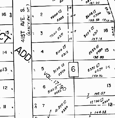
|
KC RECDNET |
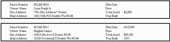
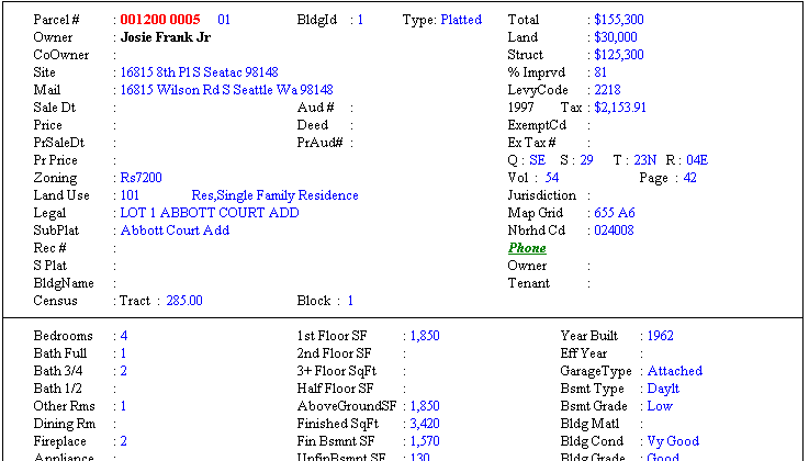
MetroScan (TransAmerica Corp.)
Used for parcel attributes
Used in the Overlay Analysis
City Limits |
Zoning
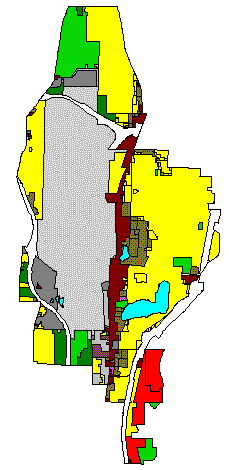 |
Comprehensive Plan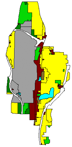 |
Urban Center |
Streams and Buffers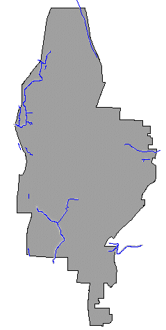 |
Wetlands and Buffers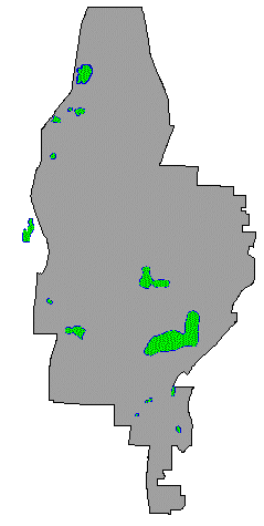 |
Airport Use Area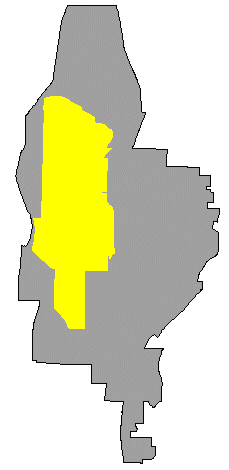 |
40º or Greater Slope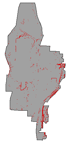 |
|
Introduction 
 Analysis