Sachs Lab - Kiribati Expedition, June - July 2005
Christmas Island (Kiritimati) & Washington Island (Teraina), Republic of Kiribati, in the Northern Line Islands of the central equatorial Pacific
|
Team Kiribati Members
Support
|


Kiribati Expedition, June-July 2005
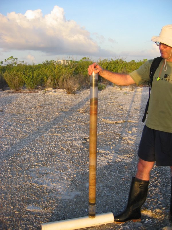
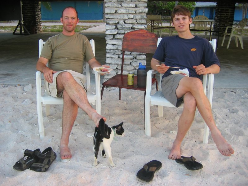
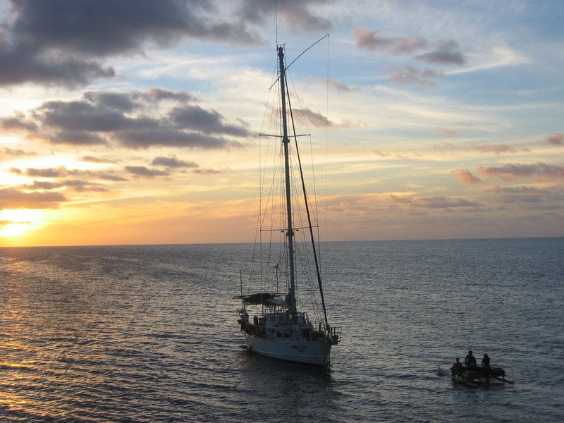
In June-July 2005 our team of four scientists set out for the Northern Line Islands in the Republic of Kiribati, central equatorial Pacific Ocean, to core the hypersaline ponds on Christmas Island (Kiritimati) and the freshwater lake on Washington Island (Teraina).
Christmas Island
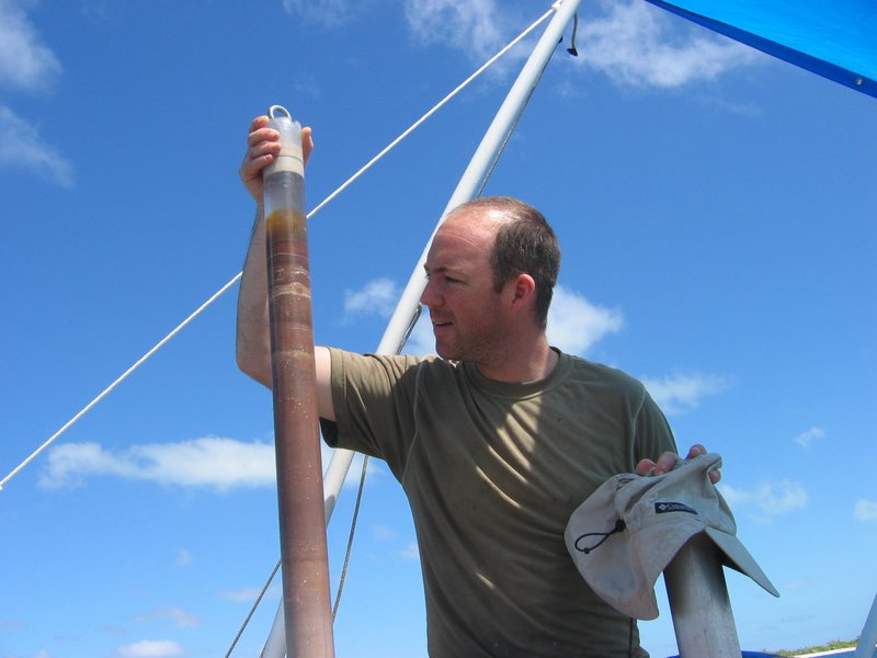
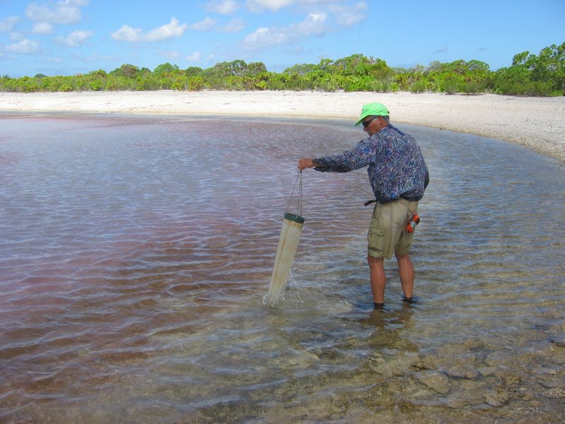
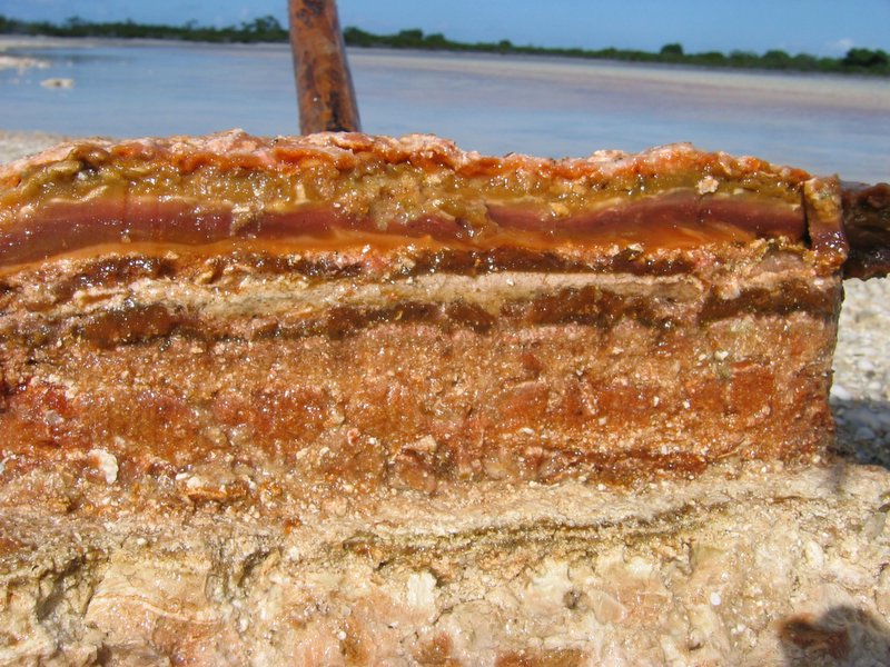
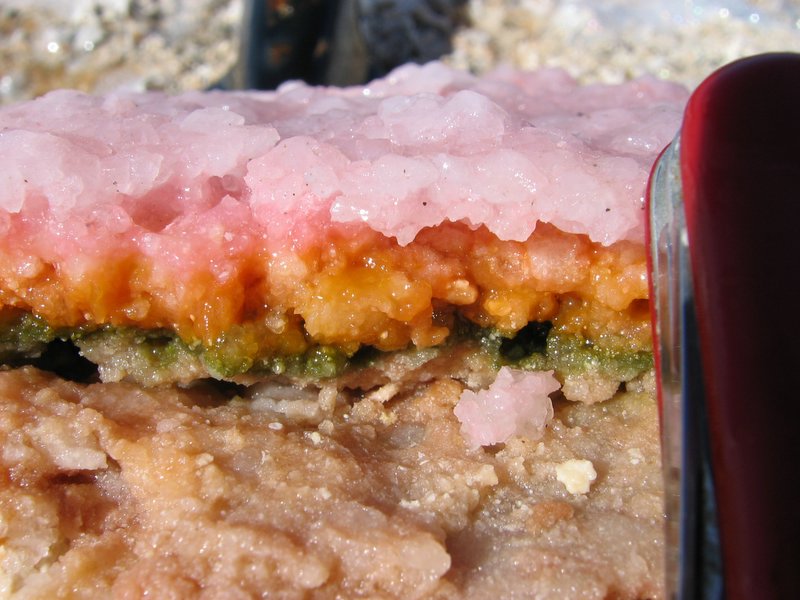
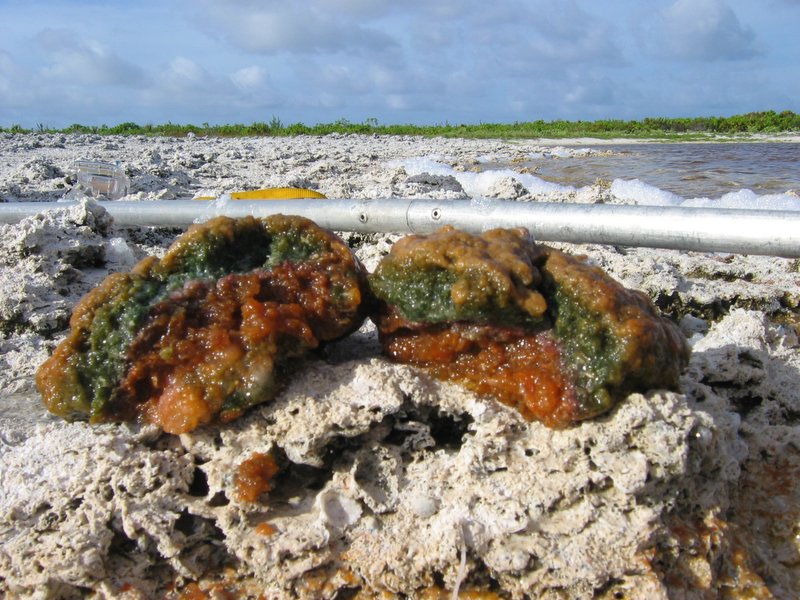
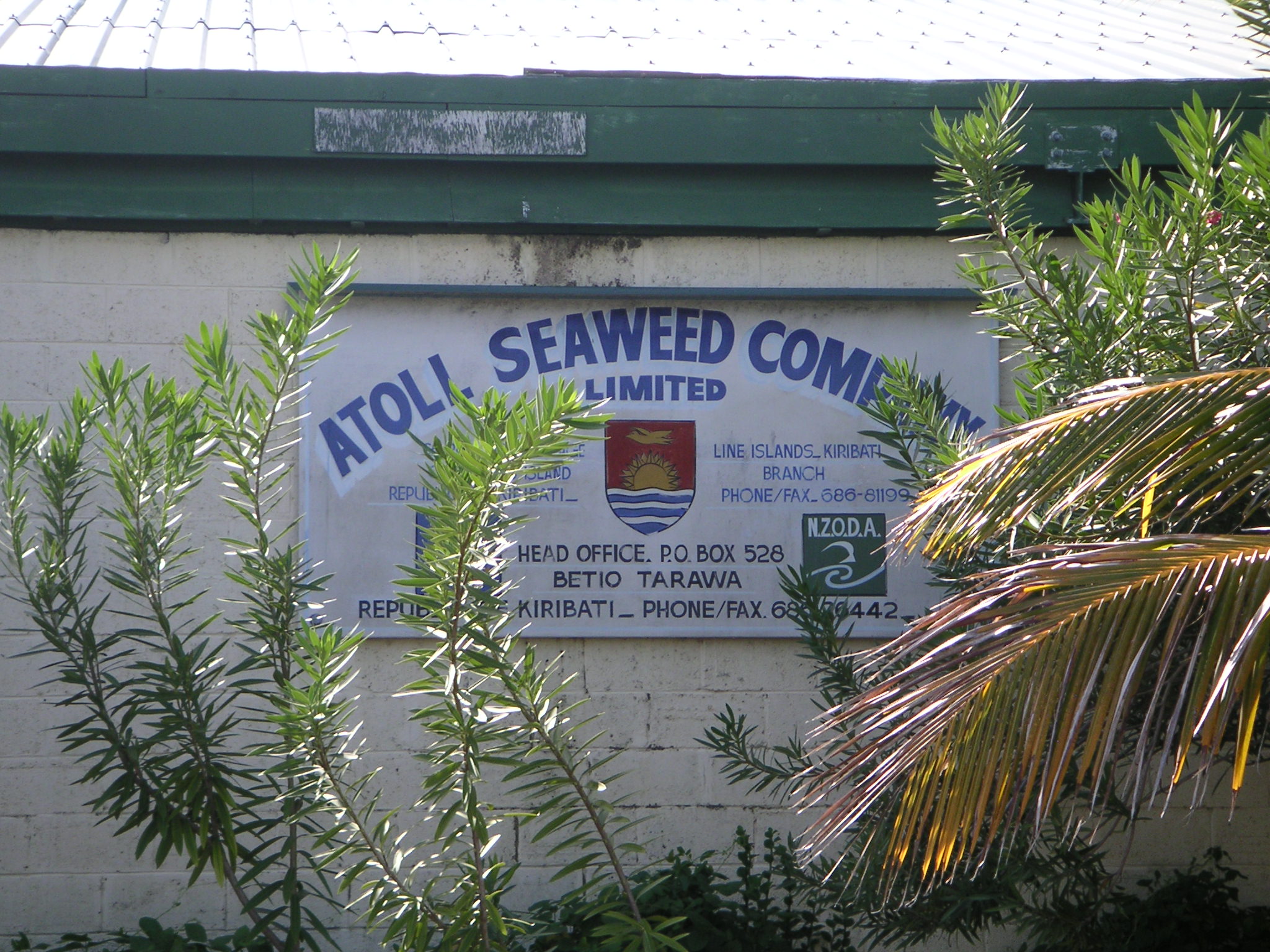
A parched desert at 2°N latitude this atoll is famous for the nuclear and hydrogen bomb tests performed there in the 1950's and 1960's by the British and Americans. Receiving just 70 cm of rain per year on average, Christmas Island contains hundreds of hypersaline ponds and lagoons. Brine in these ponds can reach six times the salinity of seawater! During El Niño events, however, Christmas Island receives large amounts of rain that cap the brines with freshwater and cause dramatic changes in the chemistry and biology of these basins. The alternating sequence of evaporite mineral layers and organic-rich layers that comprise the sediments of these ponds is expected to provide a time history of El Niño during the Holocene.
Washington Island
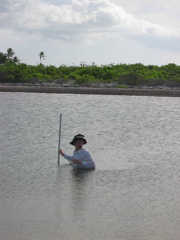
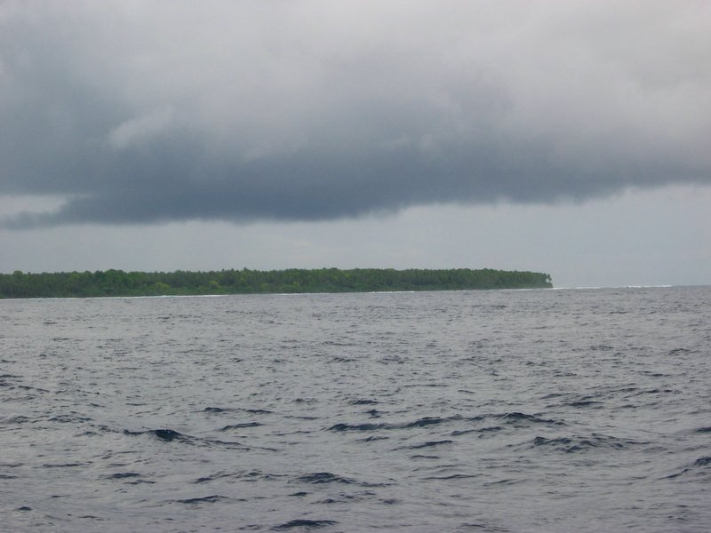
Just 300 km north of Christmas Island, Washington Island at 4.5°N latitude is a drenched tropical rainforest on a tiny ~2 km wide coral atoll, comprised largely of a freshwater lake! Receiving 300 cm of rain per year on average, Washington Island can get twice that amount during El Niño events!
Washington Island Images
|
|
|
|
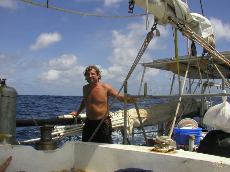
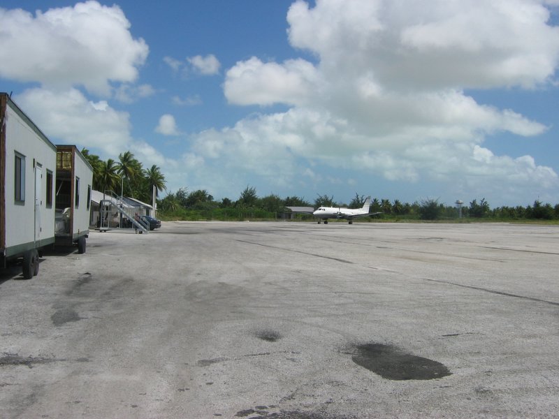
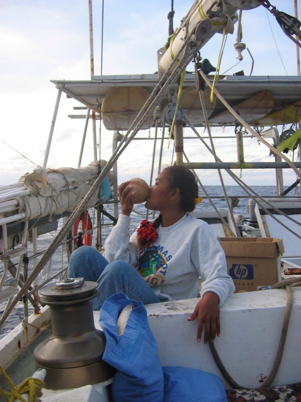
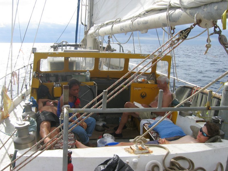
| S/V FANNING ISLAND TRADER | One of Chuck's Adopted Daughters | Life aboard the FIT | Washington Island & RAIN! |
|
|

|
|
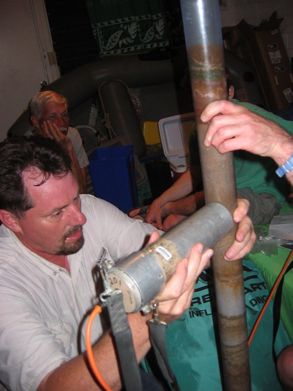
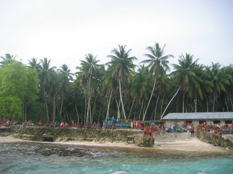
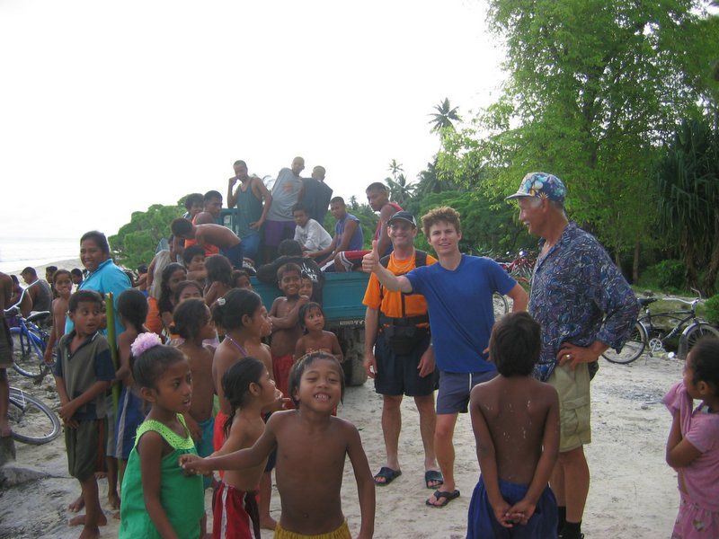
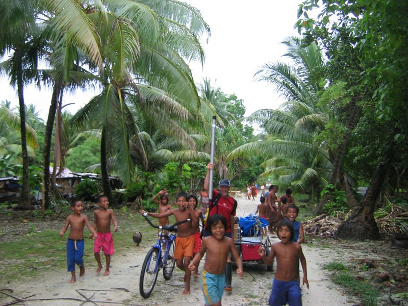
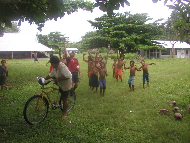
| The Landing | Our Greeters | Local Help Abounds | Coring a Bog |
|
|
|
|
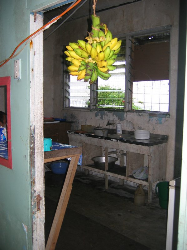
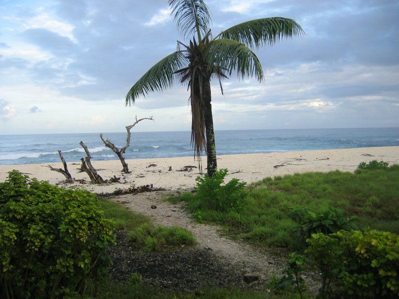
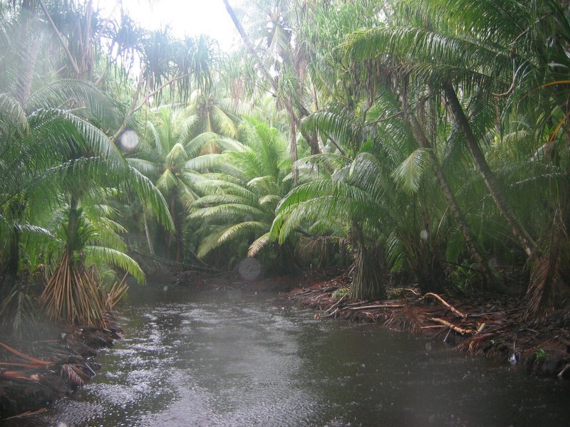
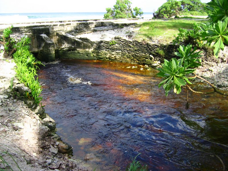
| We Love Sediment! | Kitchen in our "hotel" | Beach behind our lodge | The Canal |

|
|
|

|
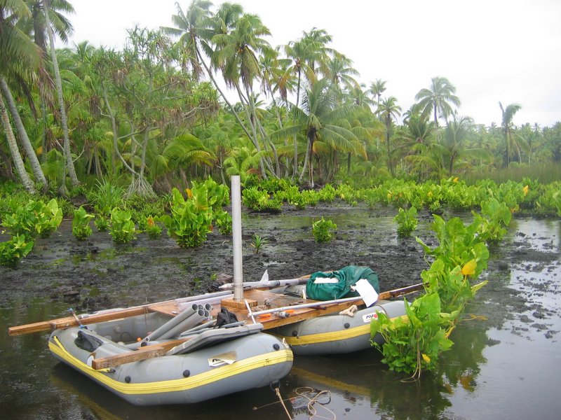
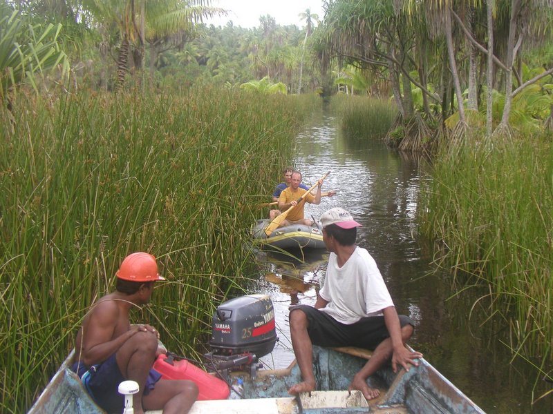
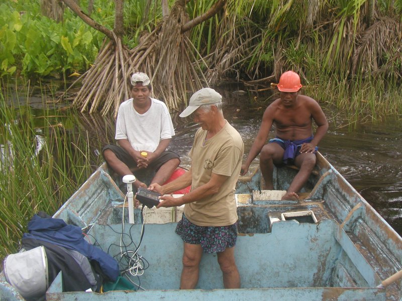
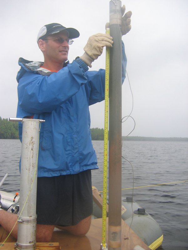
| Another Canal shot | Towing the coring gear up the canal | Measuring Wash. Lk. Physical & Chemical Properties | Collecting Rain Samples |
|
|
|
|
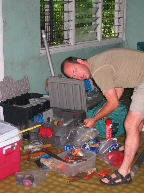
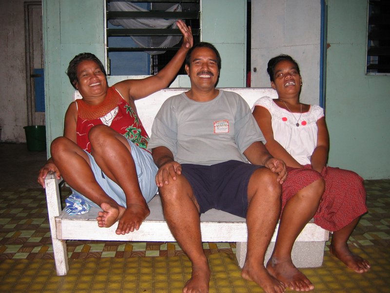
| We Love Sediment! (Again) | A Beautiful Interface Core | Makeshift Lab | Our Hotel Staff |

|
|
|
|
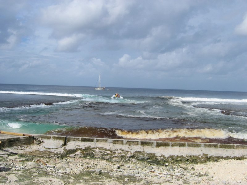
| Washington Lake | Canal Tea flows to the Sea | Departing Washington Island | The Surf at the Landing |
Send mail to: jsachs@u.washington.edu
Last modified: 7/22/2007 3:28 PM
Last modified: 7/22/2007 3:28 PM
| Sachs Lab Homepage | Julian Sachs' Homepage | Expeditions & Field Trips | Publications & Data | UW School of Oceanography | UW Program on Climate Change | University of Washington |