East Ridge of Kongur
[Updated January 23, 2001]
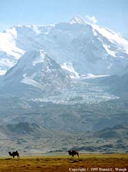
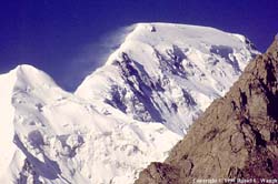
These pages are gradually being expanded to include some lengthy photo essays on various mountain regions in Central Asia. You will find material on the Pamirs, the Pamir-Alai and the Tien Shan. You will see the mountains and lakes on a wonderful bicycle route across Kyrgyzstan to the Torugart pass, on to the famous old Central Asian caravan city of Kashgar, and then down the Karakoram Highway into the spectacular scenery of Pakistan's Hunza Valley. Along the KKH, you pass the rarely climbed Mt. Kongur (7719 m.) and the popular Mustagh Ata (7546 m.). Eventually there will be photos of the spectacular peaks of the Baltoro region and Gasherbrum II in the Karakoram.
For a broader set of resources and images on Central Asia, check out Waugh's Central Asia.
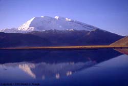 --On and around Mustagh Ata--lots of photos!
NEW!--For a description of the first ascent of the challenging new route from the south side of Mustagh Ata (and the first traverse of the mountain) by Dan Mazur, Jon Otto and Walter Keller in 2000, click here.
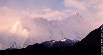
NEW!--For a description (in Russian) of the very interesting trekking and climbing on the S and SW of Kongur in 2000 by a group including Otto Chkhetiani, with a good photo of the dramatic unclimbed S. face, click here.
Treks and climbs in Kyrgyzstan:
1. Climbing Peak
Lenin.
2. Trekking the Aksu,
Uryam and Ashat Valleys.
IMPORTANT NOTE: The area in S. Kyrgyzstan
described on this page and in the following photo essay (Aktubek) should be considered
unsafe for trekking and climbing until further notice. In both 1999 and 2000 there
were hostage-taking incidents in or near these valleys. In 2000 there was some
serious fighting. The pattern seems to be that once the passes open in the summer,
the area is infiltrated by individuals described in official reports as "Islamic
militants" (whether or not that description is accurate is irrelevant--they are armed
and dangerous). It is not clear when the Kyrgyz government and its allies will be
able to re-establish security in the region and prevent this from happening. I am
leaving these photo essays up not as a recommendation that anyone attempt to trek or climb
in those valleys in the forseeable future but because of the natural beauty and cultural
interest of the region.
For an update on the region and comments on what happened in the summer of 2000, see the article by Rob Smurr, "Farewell to my Kirghiz Shangri-la" published in the Fall/Winter 2001 issue of the newsletter of the Russian, East European and Central Asian Studies Program at the University of Washington, beginning on p. 21. Note that you need Adobe Acrobat 4.0 or higher to read it.
3. From Aktubek
Pass to the Karavshin [a few photos; rest of page under construction].
Here are some preview images (click on the thumbnails to enlarge). Come back another time when more has been added.
 Kyrgyz at Subax |
 Kashgar bazaar |
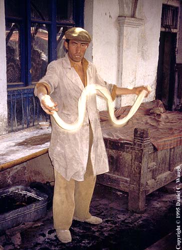 Kashgar bazaar |
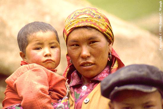 Kyrgyz of Kaying |
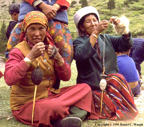 Kyrgyz of Kaying |
 Pobeda Peak |
 On Peak Lenin |
 Kegeti Pass |
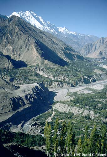 Hunza Valley |
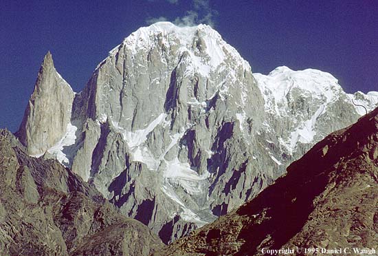 Bojohagur |
 Bare Buns in Braldu |
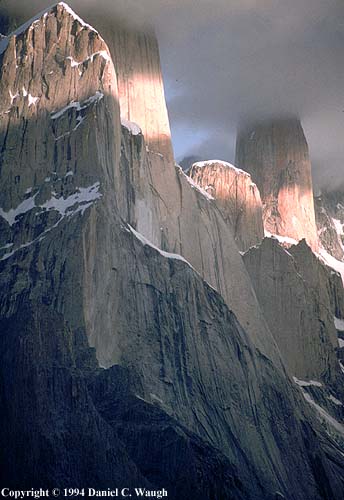 Trango Towers |
 K2 after storm |
If you are interested in the cities of Central Asia and their surrounding regions, click here, where you will find material for Samarkand and Dunhuang. For links to various resources on Kyrgyzstan, click here.
Send email to Dan Waugh, dwaugh@u.washington.edu
Return to Waugh's Central Asia for other resources.
© 2000 Daniel C. Waugh