Mapping the Yangjuan-Pianshui Area with GPS


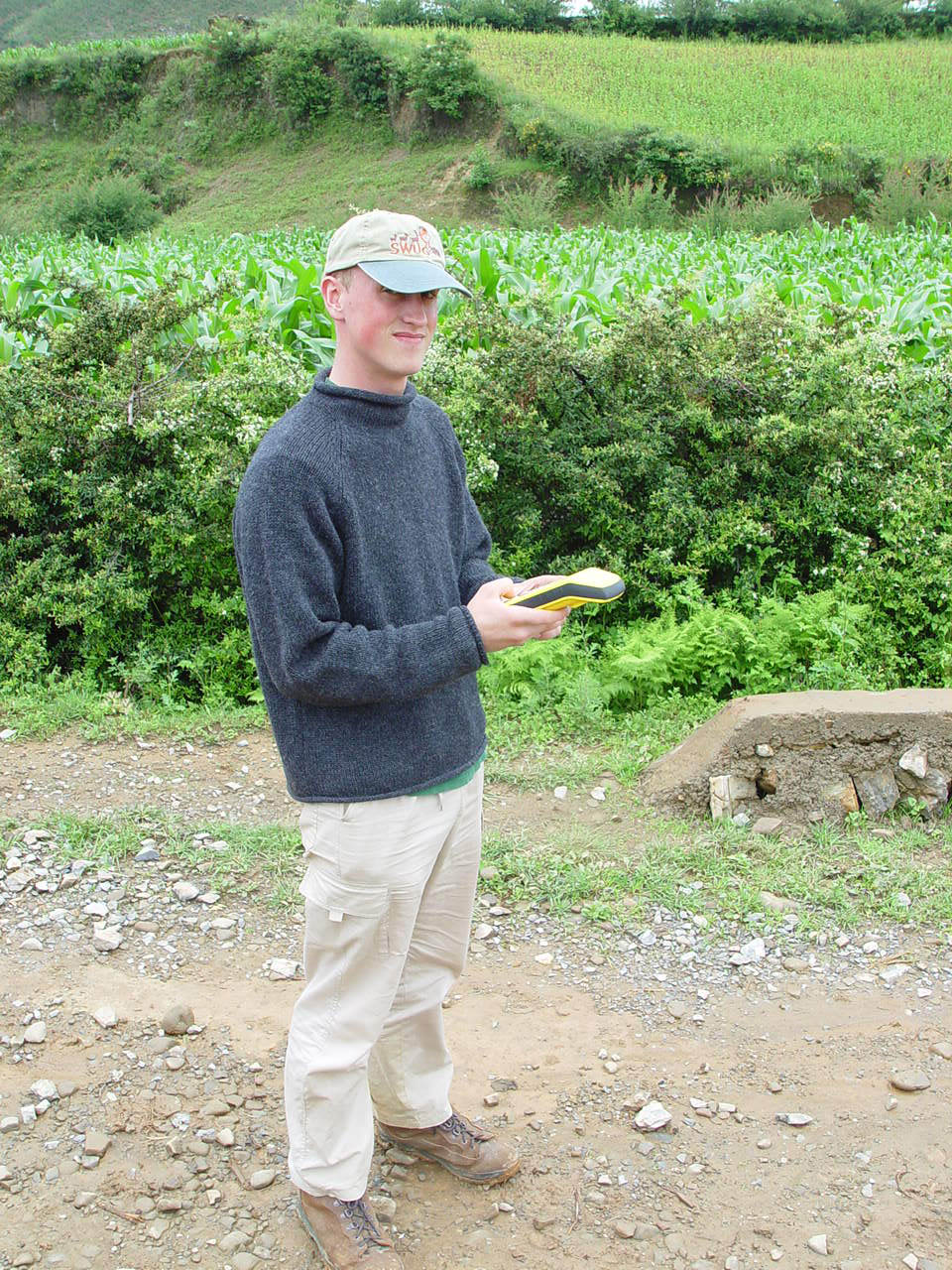
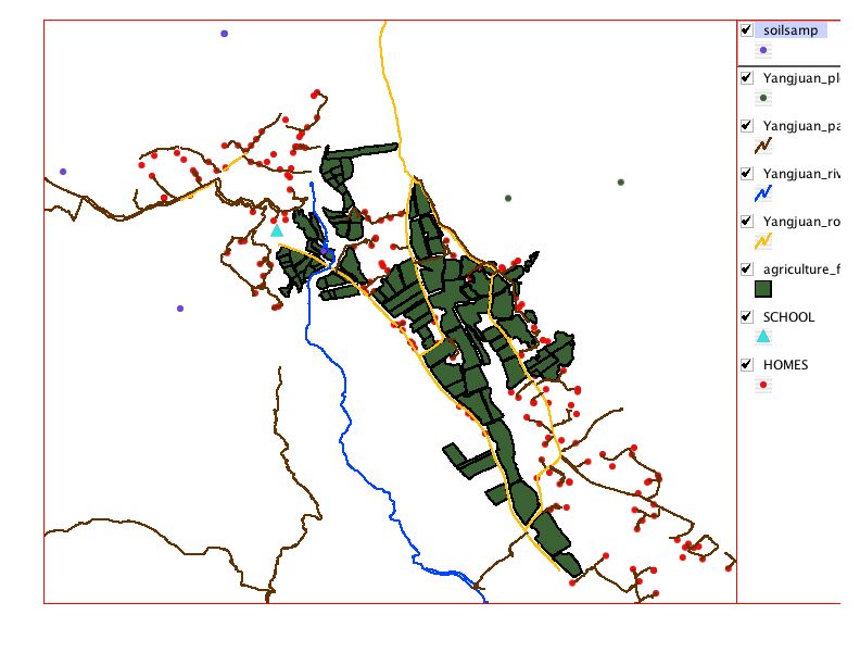
Thomas Worker-Braddock is our GIS/GPS guru. With the help of a high-end GPS unit generously lent by the Trimble company, Tom, Phil Chi, Chris Wentz, and Professor Steve Harrell, with the help of the Mgebbu brothers Vuli, Nzypo, Hnishy, and Muga and their sister Fagen, constructed a map including
  • 204 households and their locations
  • all roads and many trails and paths
  • major water courses
  • most of the fields in the ladda or alluvial plain
  • the distribution of two families's fields in the laddaand jjoba or uplands
  • the forest plots measured in the biomass survey
  • the places where we tested water quality
  • some other spots of scientific or cultural interest.
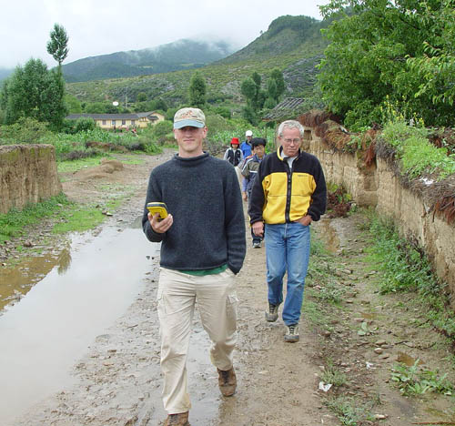
Here, Tom leads Professor Tom Hinckley, SU students Zhang Yongjiang and Zeng Ting, and Professor Dick Olmstead through a muddy lane with the machine beeping.


RESEARCH IN YANGJUAN/PIANSHUI

YANGJUAN PRIMARY SCHOOL

YANGJUAN HOME PAGE