|
|
EnVision -- Environmental Visualization System |
| A product of the USDA Forest Service, Pacific Northwest Research Station |
Basic components of an EnVision project include a digital terrain model to define the ground surface, color and texture maps to define ground surface characteristics, and groups of objects or "actors". Scene definitions include background imagery used to add clouds and distant landscape features, model components (e.g. terrain model(s) and polygon overlays), viewpoint and camera characteristics, and foreground imagery used to provide high detail in the image foreground. EnVision models individual light sources including a simulated sun position and atmospheric effects such as fog and haze. EnVision renders images using a geometrically correct camera model making it possible to match real photographs taken from known viewpoints to simulated scenes.
 |
The basic EnVision interface consists of an outline view of the project and switches to control rendering of individual model components. |
 |
Model components are specified using a property sheet control. |
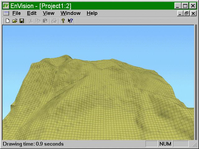 |
EnVision's relies on digital terrain models to represent the ground surface. A variety of rendering options are available including simple wire frame mesh, shaded surface, shaded surface with mesh (shown at left) or contour lines, and textured surface. |
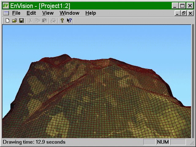 |
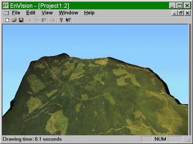
EnVision uses simple images to model ground surface characteristics.
In this image, an unrectified aerial photo is draped over the ground surface.
In most cases, such applications would use a rectified image but EnVision
can use texture patches applied within polygon boundaries to represent
ground or vegetation characteristics.
In this image, the grid has been superimposed over the ground surface to enhanced the terrain shape. |
 |
This image shows a texture surface rendering without the surface grid. The version of EnVision used to create this image only models diffuse light so terrain features tend to "wash out". Later version of EnVision will allow point light sources to better highlight terrain features and to simulate the appearance of the landscape through various seasons and times of day. |
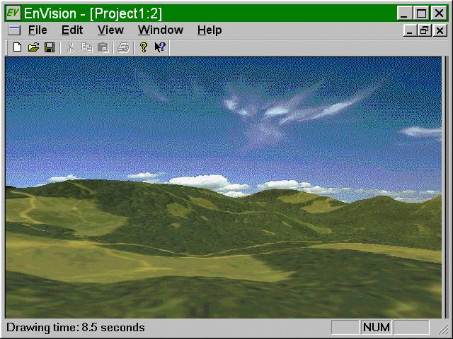 |
EnVision allows background image to further enhance image realism. Background image could represent clouds as in this image or background scenery. |
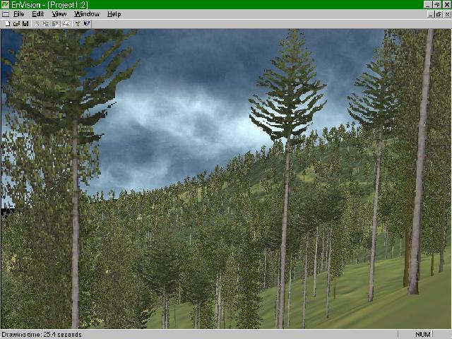 |
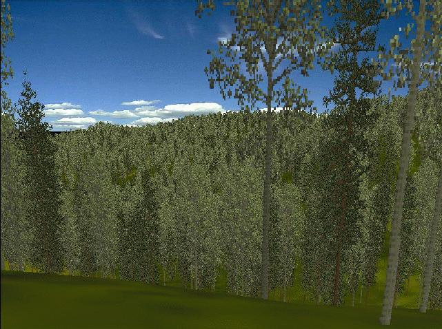
EnVision models populations of trees using a range of rendering techniques. This image represents trees using actual tree photographs mapped onto individual polygons. There are three types of trees in the image and the ground surface has been textured using a scanned aerial photo. |
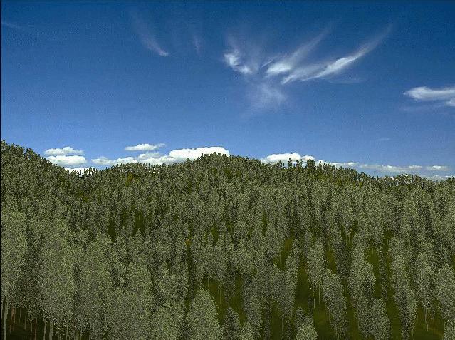 |
Another image using tree icons. This image also uses a background image to produce the clouds. |
 |
One more image using tree icons. |