HOME


EAST ASIA/ANTHROPOLOGY 448
Fall 2022
MODERN KOREAN SOCIETY
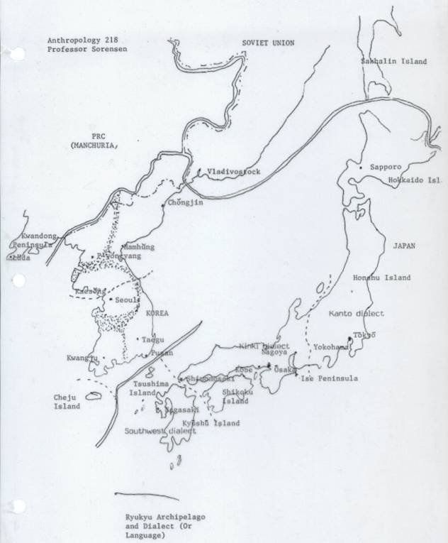
Maps

  1. Political Map of Asia
  2. Generalized Orographic Map
  3. Climatic Boundaries (GIF 59KB)
  4. Ocean Currents (GIF 96KB)
  5. Vegetation Zones (GIF 88KB)
  6. Population Density, 1936 (GIF 107KB)
  7. Proportion of Wet Rice Fields in Cultivated Area (GIF 94KB)
  8. Distribution of Dryfield Crops in the 1930s (GIF 47KB)
  9. Administrative Areas of South Korea, 1988 (GIF 34KB)
  10. Outline Map of Korea
  11. The Altaic Language Family
  12. Map of Korean Dialects

 BACK TO TOP

 Last Updated:
08/20/04

Contact the instructor at: Contact the instructor at: sangok@u.washington.edu