|
 |
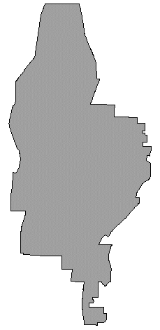
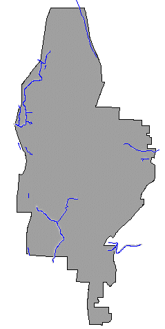
Probably the single most important data source in the analysis
is the King County GIS parcel database, here referred to as RECDNET. RECDNET
is the result of a massive project undertaken by the county's GIS division.
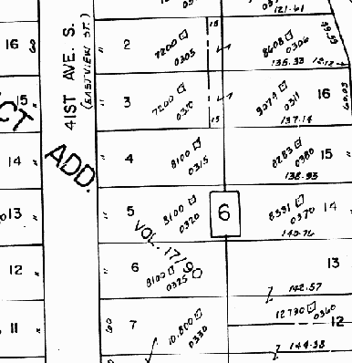
Essentially, RECDNET is a vectorized version of the County Assessor's section
maps (Figure 1), attributed with the Assessor's parcel data.
|
|
At the time of analysis, however, RECDNET was not in final release form, so most of the necessary parcel data were not available in this product. Luckily, the parcel identification numbers (PINs) were attached as attributes to the parcel polygons.
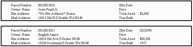
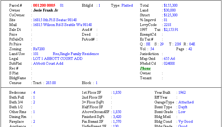
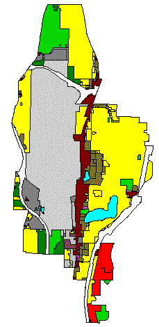
Although RECDNET did not contain attributes such as the number of units, property value, and building square footage, these data are available on MetroScan CDs (TransAmerica Corp.). We were able to select only SeaTac parcel records by selecting all records which matched the levy codes known to be in the City. MetroScan contains an exhaustive list of parcel attributes, most of which were unnecessary for the analysis. We only used the attributes we needed for this particular analytical task. Because these data are also referenced by PIN, relating the MetroScan data to the RECDNET polygon attribute table (PAT) was a trivial task. The typical MetroScan interface is a GUI in which a user queries the database and is returned matching records, in a condensed (Figure 2).
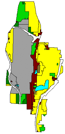
or more complete format (Figure 3).
We needed the output from MetroScan to be an input source
for ARC/INFO, and fortunately MetroScan includes utilities for dBase and
ASCII output. With a data dictionary provided from TransAmerica Corp., we
were able to translate the cryptic internal names of MetroScan's database
items into a more understandable form.
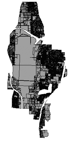
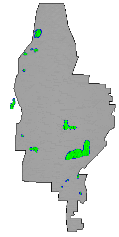
A few of the coverages in the city's GIS library were also
used in the analysis, mainly to tag parcels with municipal-planning attributes
(zoning, comprehensive plan designations),to limit the boundary of the study
area, to flag areas of concern, such as wetlands, steep slopes, etc. These
selected data sets are listed in Table 1.
 polygon |
 polygon |
 polygon |
 polygon |
 line & polygon |
 polygons |
 polygon |
 polygon (from lattice) |