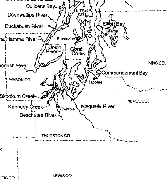
 Figure 1 Locator Map
Here are the illustrations that go with the article. The numbering may be slightly off.
Figure 1 Locator Map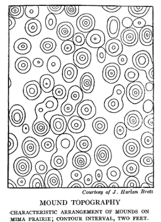 Figure 2 Diagram from Bretz
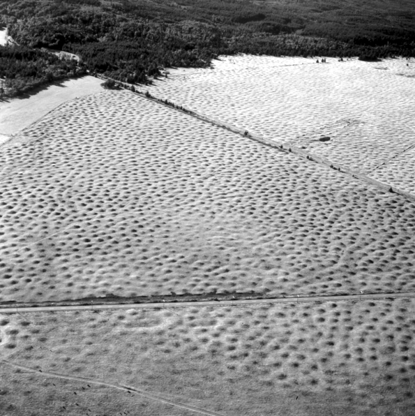 Figure 3 Aerial photograph of Mima Mounds
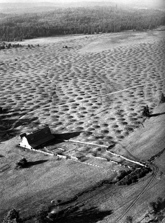 Figure 4 Aerial view, from Kruckeberg
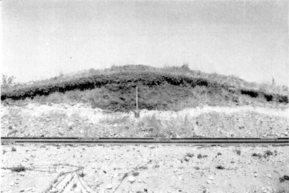 Figure 5 Cross section with shovel and rail grade in foreground, from Scheffer.
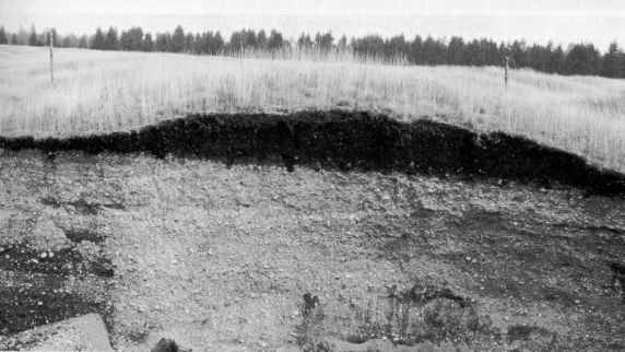 Figure 6 Cross section showing darker soil on top with gravely substrate, from Kruckeberg
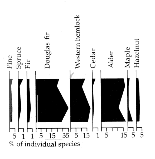 Figure 7 Pollen diagram from Kruckeberg
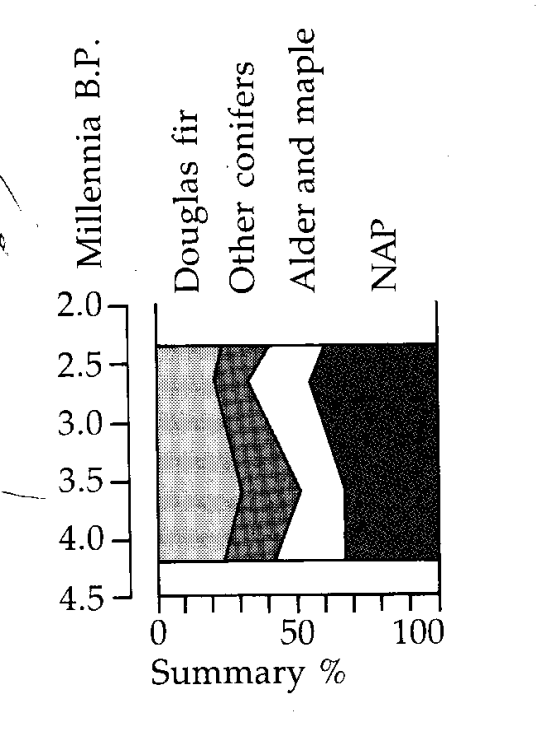 Figure 8 Pollen diagram from Kruckeberg
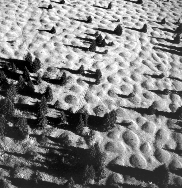 Figure 9 Aerial view with Douglas fir invasion
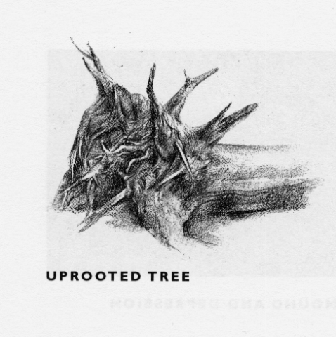 Figure 10 Uprooted stump from Wessels
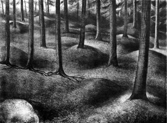 Figure 11 Mounds long after stumps have decayed with second growth of trees. From
Wessels.
Figure 11 Mounds long after stumps have decayed with second growth of trees. From
Wessels.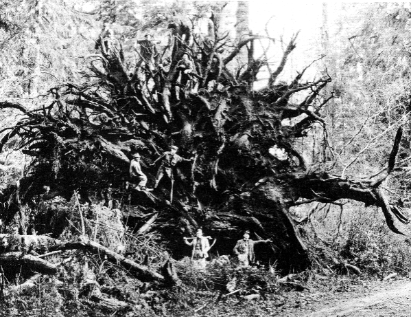 Figure 12 Stump uprooted in 1921 blowdown on Olympic Peninsula
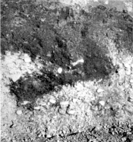 Figure 13 Rootlike intrusion, from Scheffer