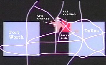
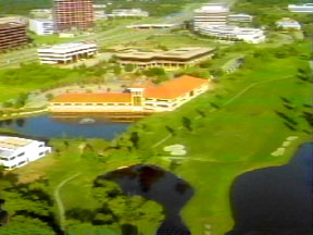
Shown below is a map of the Dallas/Fort Worth metropolitan area that shows the location of Las Colinas between the DFW International Airport and Love Field. Also shown are two aerial photos of some buildings in Las Colinas and an aerial photo of a typical freeway interchange in the area. Generally, this metropolis is very auto-oriented and the peoplemover and associated pedestrian spaces provided in central Los Colinas are quite unique in this area.


![]()
Last modified: August 13, 2002