|
Research
Projects |
|
|
|
|
|
Some Mariifs |
|
|
|
There are smaller things that
come and go, but the four most important current projects, in order of
seniority, are Safsaf, Sinai, South Africa and San Juan. (I have not considered the significance of
their all beginning with “S”.) |
|
|
|
|
|
|
|
|
|
The
San Juan project is an analysis of the flaked stone artefacts recovered
from an area called “OpD” of English Camp, a late prehistoric site (45-SJ-24)
on San Juan Island, Washington. The artifacts themselves have been studied
and write-up is well along the way.
The detailed account will, one hopes, be published as a monograph. In
the meantime, the project has made its only public appearance as a paper
given at the SAAs in April 2004, which includes excellent drawings by Gail
Wendorf. |
For those interested, this is the
2004 SAA paper,
which has no data and no references. |
|
|
|
|
|
|
|
|
The
various Safsaf studies are based on data derived from an extensive
mapping and refitting project, carried out near Bir Safsaf in southwestern
Egypt. This region is covered by
aeolian sands, which form low ripples, 1-2 m high and oriented
northeast-southwest. The ripples
define a series of more or less parallel depressions, or ripples, 100-500 m
long and <200 m wide. Towards the
southeast, the ripples become less pronounced and finally grade into the flat
sandsheet. The surface of the sands is
armoured and its morphology has remained essentially unchanged throughout the
Holocene.. |
One of the most desolate landscapes on
earth, but not without its small comforts. |
|
|
|
|||
|
|||
|
|||
|
|||
|
|||
|
The area
was used by Neolithic groups during the wet phases of the middle Holocene (from
about 7000 BP to before 5500 BP), and, to a less extent, of the early
Holocene (>8000 BP). Traces of
human activities from these periods, in the form of stone artefacts and a
few, more perishable materials, remain littered across the armoured surface. There are no outcrops of stone in the
immediate area, so that all stone, even unworked pieces, had to be brought
in, and owes its location to prehistoric human action. Further, the local absence of stone meant
that it was a valuable material to users of stone tools, who therefore
recycled artefacts to an unusually high degree. Most of the material is quartzitic
sandstone, available from outcrops 10-15 km north of the survey-area |
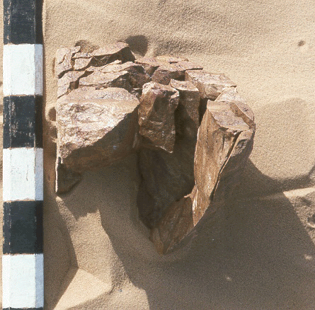
A selection (small) of some of
the stone artefacts
collected from the Safsaf ripple |
|
|
|
Working
in an area of ca. 15 km² (5.6 × 2.5
km), we attempted to map and collect every single piece of stone. The overall distribution of artifacts
correlates very closely with the topography.
Almost all of the sites among the ripples are on the north-facing
slope of a ripple, and, in that the ripples themselves are topographically
distinct, the set of sites in one ripple is always clearly separated from the
set of sites in another ripple.
Mapping and collection were followed by the refitting of
artifacts. These two sources of data,
the mapping and the refitting, provide an unusually fine-grained opportunity
to trace what-was-done-where,-when,-and-even-why. |
A largely refitted core. The scale is in units of 5 cm. |
|
|
|
Some of
this has been published in various places. |
Click here for an unannotated and
non-descriptive list of related publications. |
|
|
|
|
|
|
|
|
Sinai, defined by the
rifts of the Gulf of Suez and the Gulf of Aqaba, is geographically distinct
from both Africa and Asia, but also serves as a connection between them. Historically, therefore, archaeologists
have tended to emphasize Sinai’s connective rôle, and archaeological
exploration has focused on the northern part of the peninsula. However,
during periods of lowered sea-levels in the Pleistocene, the land-bridge included
what is now the Gulf of Suez, while, in the Holocene, crossing the Gulf
directly from southwestern Sinai has involved only a short and relatively
hazard-free sea-trip. The results of a
preliminary archaeological survey and subsequent excavations carried out in
southwestern Sinai suggest that area may have played an important rôle in
exchanges between Africa and Asia during the Holocene and may also have taken
part in the regional development of social complexity. The University of
Washington Archaeological Expedition to Sinai conducted fieldwork in 1995 and
1996, concentrating in the areas of Wadis Sidri and Mukattab in the north,
the lower reaches of Wadi Feiran, the plain of El Qaa and adjacent piedmont
from Feiran to El Tur, and the coastal area from Wadi ‘Araba to Hammam
Mousa. In 1998, we conducted extensive
excavations at El ‘Awag, some 10 km North of El Tur within El Qaa, and at
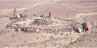
Wadi Abu Gedar, on the eastern margin of El Qaa, Among and on the edges of Tertiary remnants
at El ‘Awag is a series of almost 30 stone structures, most of which are
tombs. These tombs are part of a
previously unreported tradition which was widespread in southwestern Sinai. They are now known to occur from Wadi
Izbi’, in the northernmost part of the survey area, as far south (at least)
as Wadi Abu Gedar. The largest of the
tombs at El ‘Awag has maximum dimensions of ca. 14 m and the outer
enclosure is almost square, with a carefully constructed wall of large
stones, with pairs and triplets of very large stones (up to 0.5 m high) set
at intervals within the wall. It was
almost completely excavated. |
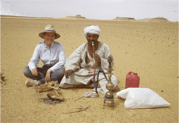
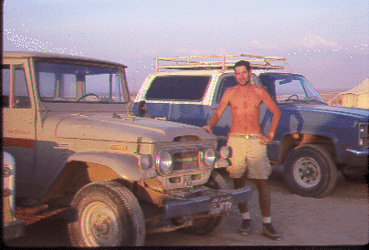
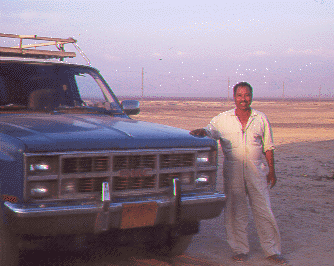
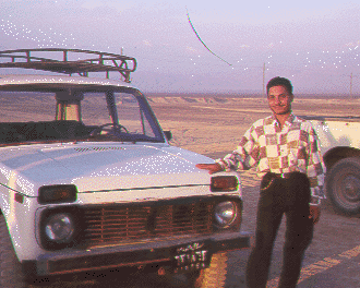
Click here for
annotated (but not very informative) pictures of Sinai. On the other hand, there are also
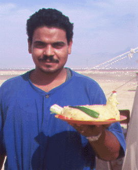
things pertaining to food (it really was a hand-made, mashed-potato chicken with
celery at the rear end), and the obsession of some with their vehicles: Tom and his Toyota; Daoud and his
Land-Rover; Abdu
and his “Gims”; Yasser
and his Niva. Sigh. |
|
|
|
Among and on the edges of Tertiary
remnants at El ‘Awag is a series of almost 30 stone structures, most of which
are tombs. These tombs are part of a
previously unreported tradition which was widespread in southwestern
Sinai. They are now known to occur
from Wadi Izbi’, in the northernmost part of the survey area, as far south
(at least) as Wadi Abu Gedar. The
largest of the tombs at El ‘Awag has maximum dimensions of ca.
14 m and the outer enclosure is almost square, with a carefully
constructed wall of large stones, with pairs and triplets of very large
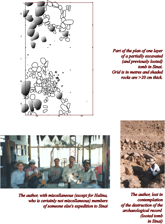
stones (up to 0.5 m high) set at intervals within the wall. It was almost completely excavated. |
Here be pictures of the largest
tomb at El ‘Awag, at the very beginning of
excavation (from the adjacent jebel) and later in
excavation (from outside the “wall”). |
|
|
|
The funerary monuments of El ‘Awag are not directly
associated with living sites. However,
several such sites have been identified the eastern side of El Qaa. The most
important group is north of the mouth of Wadi Abu Gedar. These include the walls of more or less
circular houses, one or two courses high, 2-8 m in diameter, and occurring
singly or in contiguous complexes of up to eight “rooms”. Some are built so as to incorporate
extremely large granite boulders into their walls. Several were excavated in 1998. |
This goes to a ridiculously (you
have been warned) detailed account of the 1995 survey. (It is a PDF file and requires Acrobat
Reader.) |
|
|
|
|
|
|
|
|
|
|
|
|
|
South Africa, on the other hand, is still very much a
work-in-development. In 1999, I spent
a large chunk of the summer exploring some of the possibilities and, thanks
to marvellous friends and colleagues, it was quite splendid. The possibilities are not quite endless,
but are certainly many and varied.
There are, however, differing opinions on the direction in which a
research project ought to go. |
Click here for
differences of opinion. |
|
|
|
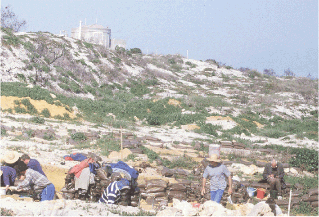
Many
wonderful and exciting things – not to mention lots of fine archaeology – go
on at Duinefontein, but the nuclear power-plant in the background really does
tend to loom. |
Duinefontein and
its looming power-plant. |
|
|
|
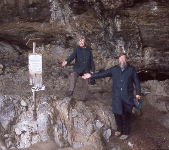
Of
course, South African archaeology is justly famous for its coastal
cave-sequences. However, I am not sure
that I am really a coastal-cave-sequence sort of person, and even some of the
best of the caves, such as Die Kelders, seem to have fallen on rather hard
times. |
Hard times at Die Kelders |
|
|
|
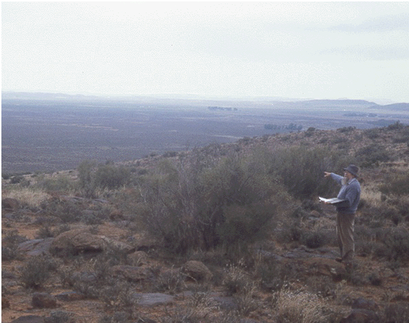
On the
other hand, the Seacow Valley (Professor Sampson is very good at pointing at
things), or something like it, with vaguely tolerable amounts of vegetation
and thing surface scatters of stone artefacts, could be like Safsaf all over
again. |
Professor Sampson
pointing to the Seacow Valley |
|
|
|
This
could be remarkably interesting, not least in a comparative sort of way. Still and all, I cannot help but feel mild apprehension
about some of the local eateries. |
|
||
|
Decisions
have yet to be made. Meanwhile, I have
worked with Garth Sampson on some of his Seacow material, and we are also conducting
a campaign to study all the thumb-nail scrapers in the region. (Or perhaps it just feels that way.) |
Click here for a
list of related publications. |
|
|
|
|
|
|
|
|
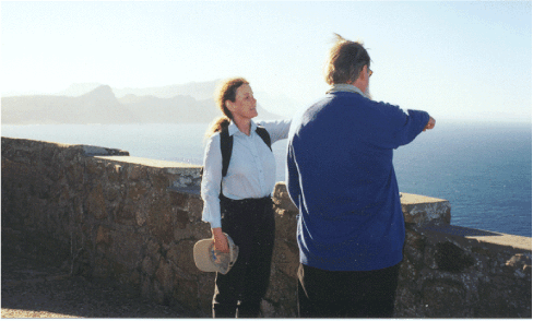
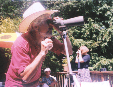
P.S. As an afterthought, but still with the “S”
theme, research also goes on in Seattle, but here, as in the Cape,
investigators do not always agree in which direction to search. |
Desperately seeking something in Seattle |
|
|